New CENTRINNO Cartography Resources
Expanding the CENTRINNO platform
The research project CENTRINNO (New CENTRalities in INdustrial areas as engines for innovation and urban transformation) is entering its 4th and final year of the project.
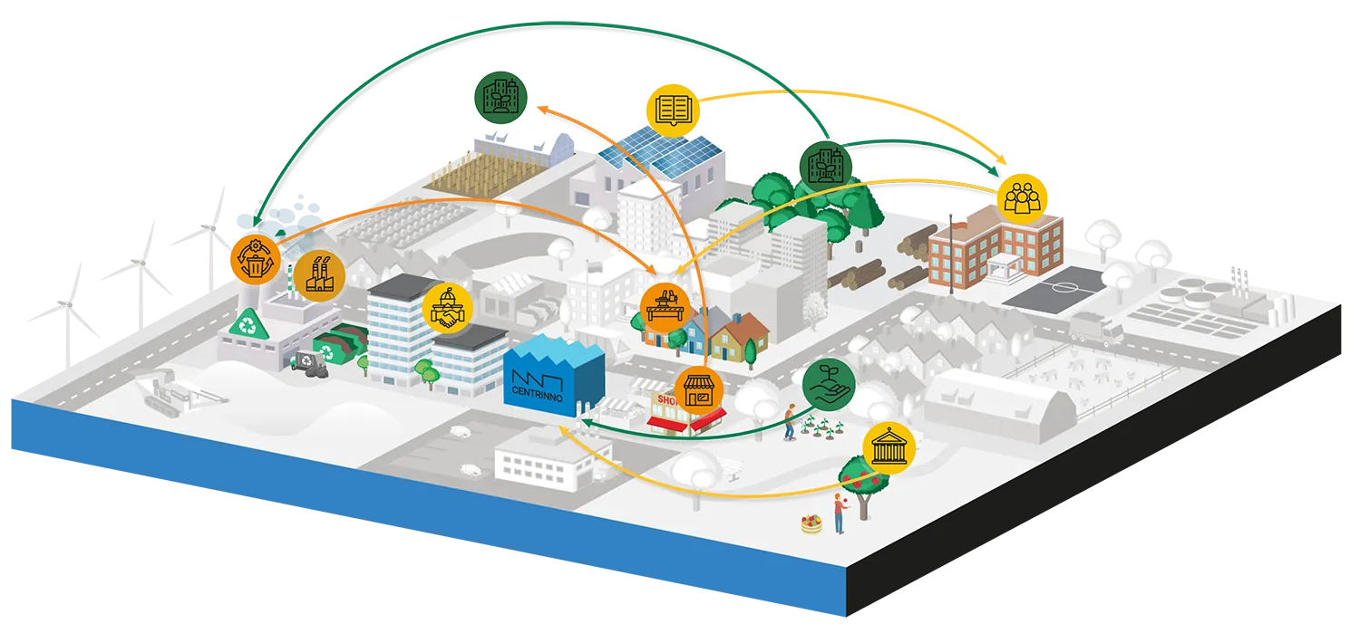
The Cartography follows the 9 pilot cities across Europe on their mapping and exploration journeys toward circularity as a living tool. The project’s output is one of the central infrastructures of CENTRINNO as an open-source resource for other cities to explore.
During the past 3 years, the project’s pilots have worked intensively to map the resources, people, knowledge, skills, and infrastructure around post-industrial sites and beyond.
With such rich knowledge, how can we weave together all of these resources into a circular, inclusive, and locally productive ecosystem that regenerates communities and nature? And above all, can Fab City Hubs act as facilitators of this transition?
In the final year of #CENTRINNOeu, Cartography explores these ideas and shares its findings to these questions via new pilots’ mapping stories.
Latest Stories
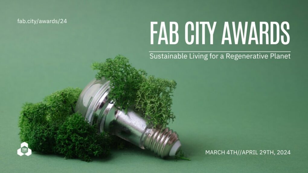
Fab City Awards 2024, Sustainable Living for a Regenerative Planet
A decade after the Mayor of Barcelona declared our collaborative efforts towards cities producing almost everything they consume, we are celebrating your efforts in the second edition of the Fab City Awards.
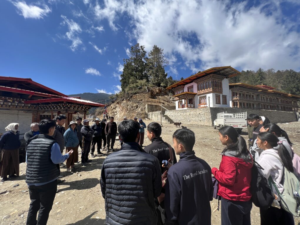
Designing Resilient Futures
A structured innovation competition to be held during Fab23 Bhutan in July 2023, is set to bring together local and global innovation communities to propose meaningful interventions that enrich, scale, and invest in Bhutan’s resilient economy from the bottom up.
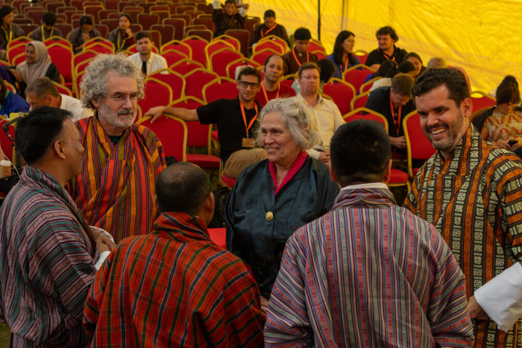
Fab City Summit 2023 at Fab23 Bhutan
The Fab Kingdom of Bhutan reaffirms its dedication to the Fab City Global Initiative, while Augsburg, Cordoba, and Oulu become the latest additions to the network of Fab Cities.